The Optical Phenomenon
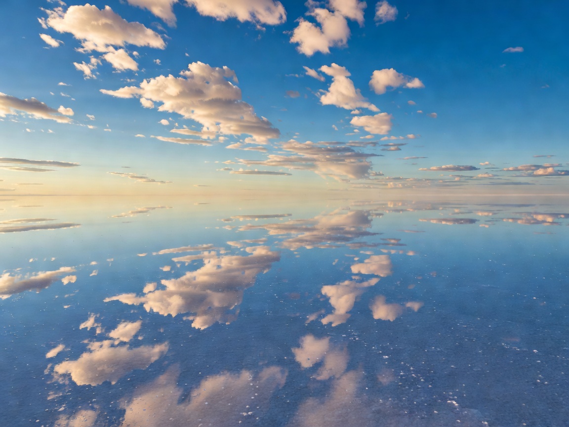
Located near the crest of the Andes Mountains at an elevation of 3,656 meters above sea level, Salar de Uyuni spans an extraordinary 10,582 square kilometers. During the rainy season (December to April), nearby lakes overflow onto the salt pan, creating a shallow layer of calm water only a few centimeters deep.
Because the salt crust is remarkably flat—with elevation variations of less than one meter across the entire 10,000-square-kilometer area—the water stays completely uniform. Under calm wind conditions, this sheet of water transforms the landscape into an immense, unbroken specular mirror reflecting the sky in flawless high definition.
Salar de Uyuni was formed as a result of transformations between several prehistoric lakes that existed around 40,000 years ago. When Lake Minchin evaporated, it left behind two modern lakes, Poopó and Uru Uru, and two major salt deserts: Salar de Coipasa and Salar de Uyuni.
Scientific Significance & Satellite Calibration
Beyond its ethereal visual aesthetic, Salar de Uyuni serves a key role in modern space science. Due to its enormous surface area, exceptional level surface, and high surface reflectance (albedo), Earth-observation satellites utilize Salar de Uyuni to calibrate their altimeters and imagery sensors.
Additionally, beneath the thick salt crust lies a deep reservoir of brine, containing between 50% and 70% of the world's known lithium reserves. This rare metal is crucial for electric vehicles and global energy storage systems, making the salt flat a zone of enormous economic importance.
Visiting & Exploration Guidance
Travelers seeking the mirror effect should aim for the wet season between January and March. Dry season visits (May to November) offer a completely different visual marvel: an endless, blindingly white landscape covered in geometric hexagonal salt tiles generated as water evaporates from the mineral crust.